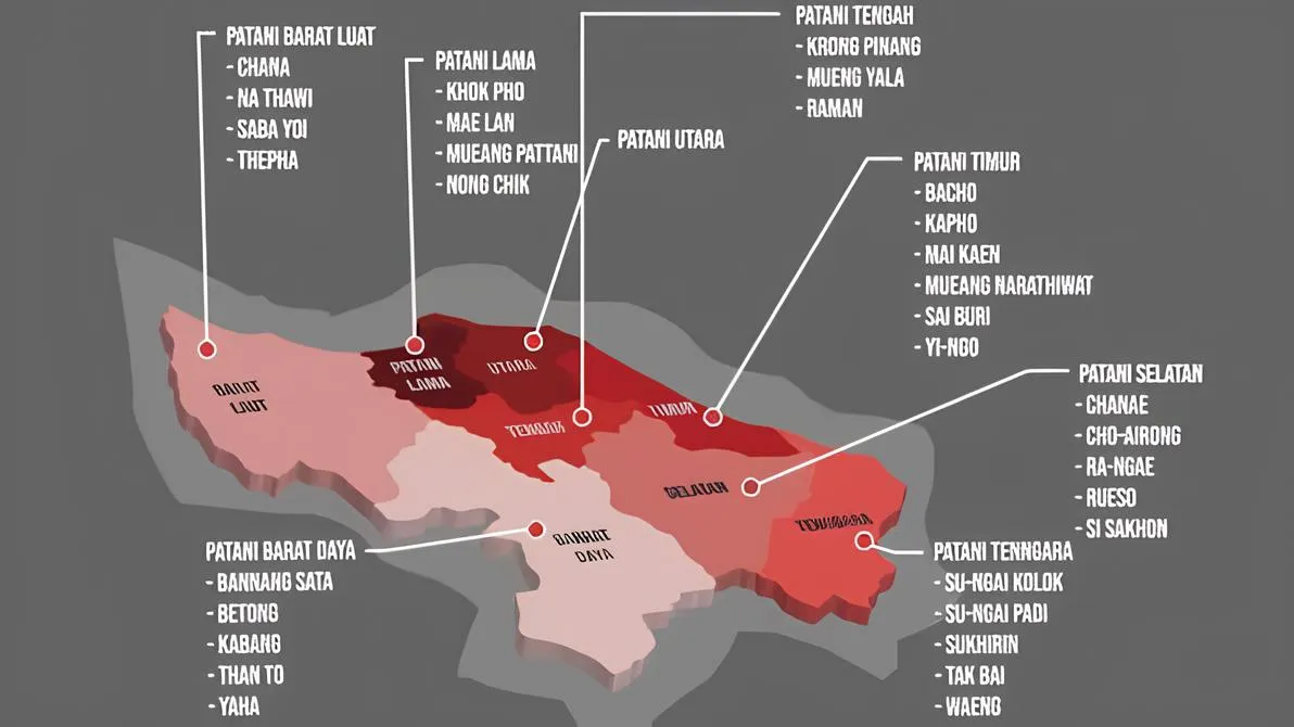


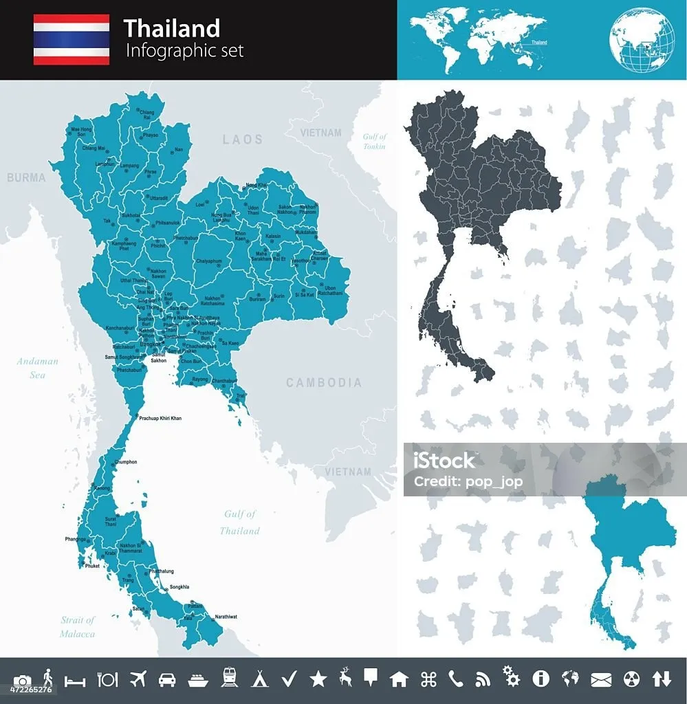
By Maun Kagawasan: History shows that the Greater Patani Kingdom, covering an area of approximately 16,495 km², encompassed territories that are currently under the administration of Southern Thailand and share a direct border with Malaysia, namely: Pattani Province (the core area of the kingdom and its former capital), Yala Province (Jala), Narathiwat Province (Menara), Satun Province (Setul), and parts of Songkhla Province (Senggora)—specifically the western and southern regions such as Canak, Thepha, Sabayoy, Nathawi, and Sadao.
In currently Status that Since the Greater Patani region is part of the Kingdom of Thailand, under international law, Patani does not possess its own maritime sovereignty because it is an official part of the Kingdom of Thailand’s territorial sovereignty. Therefore, the coastal waters of Patani are fully subject to the territorial sea limits and Exclusive Economic Zone (EEZ) administered by the central government of Thailand in the Gulf of Thailand.
The Patani coast stretches along the southern part of the Gulf of Thailand (South China Sea). Under international law of the sea (UNCLOS), the maritime management rights inherent to this coastal region include: Territorial Waters extending up to 12 nautical miles from the wet coastline and the Exclusive Economic Zone (EEZ); and sovereign rights over marine resources up to 200 nautical miles, which in this region are delimited and shared through continental shelf agreements between Thailand and Malaysia and Vietnam in the Gulf of Thailand.
Historical Boundaries
At the height of its glory under the rule of the four queens (Queen Green, Queen Blue, Queen Purple, and Queen Yellow) during the 16th and 17th centuries, its territory expanded to become Greater Patani. In addition to the southern regions of Thailand mentioned above, its influence and territory also extended to the northern part of the Malay Peninsula—now part of Malaysia—specifically the states of Kelantan and Terengganu (including the Besut district), as well as Senggora (Songkhla) and Pethalung (Phatthalung).
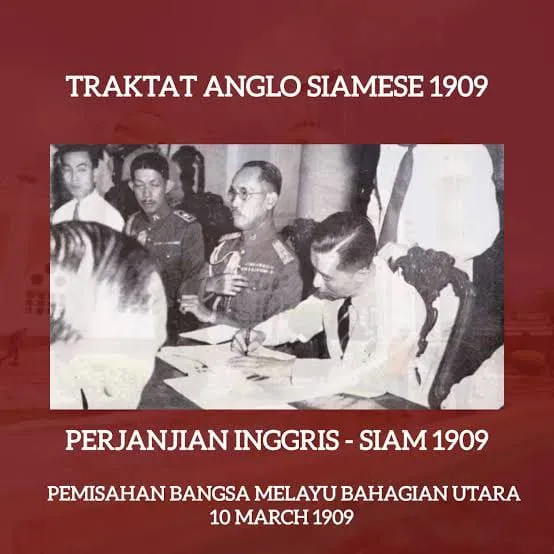
This vast territory subsequently shrank and fragmented following its conquest by the Kingdom of Siam (Thailand) in 1785, culminating in the 1909 Bangkok Treaty (Anglo-Siamese Treaty), which officially divided the region into Southern Thailand and Northern Malaysia as they are today.
During the heyday of the Patani Sultanate (before it was formally annexed by Siam/Thailand through the 1909 Bangkok Treaty), the concept of maritime sovereignty was not measured in formal square kilometers as in modern law, but rather through control of maritime trade routes and ports along the Gulf of Thailand. Currently, all maritime security patrols, law enforcement, and the exploitation of natural resources (such as natural gas and fisheries) in the waters off the coast of Patani fall entirely under the authority of the Royal Thai Navy.
Modern Era of Patani Raya
Thus, in the modern era, when Greater Pattani was incorporated by the British government into the Kingdom of Siam through the Anglo-Siamese Treaty of 1909, Greater Pattani’s sovereignty over the utilization of its marine resources came under the control of Bangkok. The Gulf of Pattani possesses extremely rich marine resources; in addition to its potential for fisheries and tourism/ecotourism, it also contains hydrocarbon resources in the form of oil and natural gas.
Particularly regarding hydrocarbons, the oil and gas potential in the Gulf of Pattani (the Pattani Basin, located in the Gulf of Thailand) is immense and is recognized as the largest source of natural gas production in the Gulf of Thailand region. This north-south-trending Tertiary rift basin is one of the most prolific oil and gas operating areas in Southeast Asia. The basin is dominated by natural gas and condensate, with smaller amounts of crude oil. It is capable of producing approximately 2 billion cubic feet of gas per day (Bcf/d) and about 120,000 barrels of oil and condensate per day from thousands of active wells. Hydrocarbons in the Patani Gulf are primarily trapped within Miocene fluvial sandstone reservoirs within a highly densely fractured (graben) system. Geologically, the trend of the Patani Gulf formation is closely correlated with the potential for a “giant discovery” located in the Andaman Block, off the coast of Aceh.
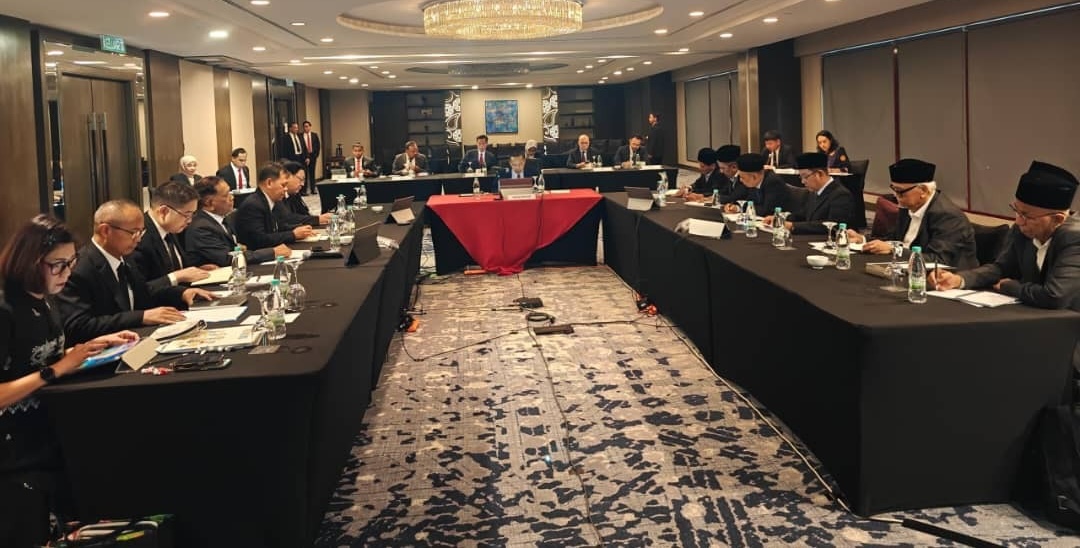
Therefore, the maritime sovereignty of Greater Patani in this modern era must be examined more thoroughly by the people of Patani, especially since the people of Patani—represented by the National Revolutionary Front (BRN)—are currently engaged in negotiations with the Thai government, mediated by the Malaysian government. Certainly, the maritime zone of Patani must be one of the key issues to be discussed so that the benefits derived from Patani’s marine resources can be enjoyed by the people of Patani themselves in the future.
UNCLOS as an International Law
Negotiations between the BRN and the Thai government are still ongoing, although there has been back-and-forth between the two sides, and Malaysia, as the mediator, has not yet played an effective role in the dialogues that have taken place. Evidence of this is that the mediator has not yet been able to guide both parties toward discussing substantive issues in the negotiations.
However, if the Patani region achieves independence, self-governance, or special autonomy, the legal status of the seas and waters in that region will undergo fundamental changes based on international law, specifically UNCLOS 1982 (the United Nations Convention on the Law of the Sea).
Therefore, both parties must begin to develop an appropriate narrative to structure all agreements in accordance with UNCLOS. The experience of East Timor could serve as a reference if Patani were to gain independence, or the experiences of Aceh and the BARMM could also serve as references if Self-Governance or Special Autonomy were agreed upon.
Broadly speaking, if both parties agree on Self-Governance or Special Autonomy status, it must be remembered that the Patani region remains under the sovereignty of the Thai government, and its maritime status remains subject to Thai national law, though it will certainly be further regulated through a specific division of authority, such as Thailand’s Retained Sovereignty: Under international law, Thailand remains the owner of the EEZ and Territorial Sea. Foreign vessels and matters of international law will continue to be handled by the central government in Bangkok. Furthermore, regarding Domestic Resource Management: Under the agreed-upon autonomy legislation, the Patani government is typically granted the authority to manage local fisheries, marine conservation, and to receive royalties from the exploitation of oil or natural gas in their offshore waters; and finally, the boundaries of the Local Maritime Sector, The maritime boundaries of the autonomous region (e.g., 4, 6, or 12 nautical miles from the coast) are typically defined specifically for the purposes of local law enforcement jurisdiction, local revenue collection, and the rights of traditional local fishermen.
Therefore, the BRN delegation must be fully aware that the issue of maritime sovereignty is one of the substantial agenda that must be discuss and adopted in political agreement.